The wait for the arrival of my Sling TSi kit is almost over and if all goes to plan it should be in my garage in the next 7-10 days after it finishes it’s way across the Pacific ocean.
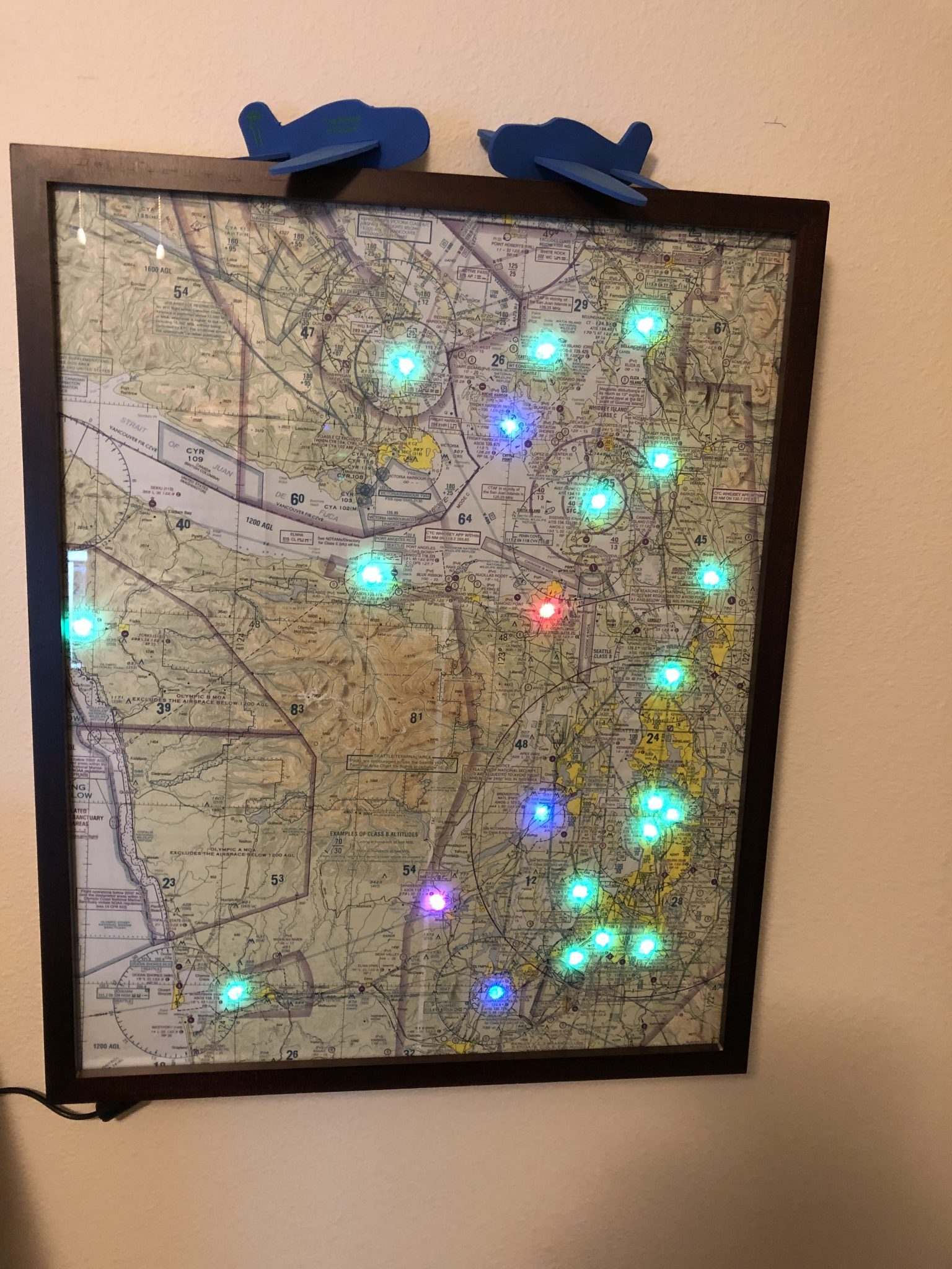
In the meantime, my girlfriend and I were inspired by a post on reddit of someone making a flight conditions map using a sectional chart and some LEDs.
I can visualize my flight instructor shudder every time I refer to a sectional chart as a map, but it’s a lot easier to talk to normal non-pilot people about a map we put up on the wall with lights than calling it a chart.
So here it goes, we made one ourselves of the Puget Sound area and hung it up.
If you’d like to make your own, I’ve written up the detailed instructions here.